
The system, explained
Agriculture runs on water, and water is getting harder to predict and more expensive to waste. Saturn Terminal pulls together satellite imagery, on site sensors, and weather data, then uses AI to turn that into clear guidance on when, where, and how much to irrigate.
The system, explained
Agriculture runs on water, and water is getting harder to predict and more expensive to waste. Saturn Terminal pulls together satellite imagery, on site sensors, and weather data, then uses AI to turn that into clear guidance on when, where, and how much to irrigate.

.jpg)
Get a complete picture of each field
Most irrigation decisions fail when one input is missing. Saturn combines satellite imagery, IoT soil sensors, and local weather data so you can stop guessing and start managing water with confidence.
Satellite view
See field wide patterns like moisture variance and crop stress early enough to act, not react.
Soil level truth
Use sensor readings to confirm what’s happening at root depth and validate what actions to take.
AI can turn signals into plans
Saturn’s models process real time and historical patterns to recommend irrigation timing that protects yield while reducing waste. The goal is simple: fewer unnecessary runs, better decisions, and a system your team can rely on day to day.
Irrigation prescriptions
Clear recommended run windows by zone, built around soil conditions and weather.
Crop forecasting
Forward looking insights based on field conditions, weather patterns, and historical performance.
.png)
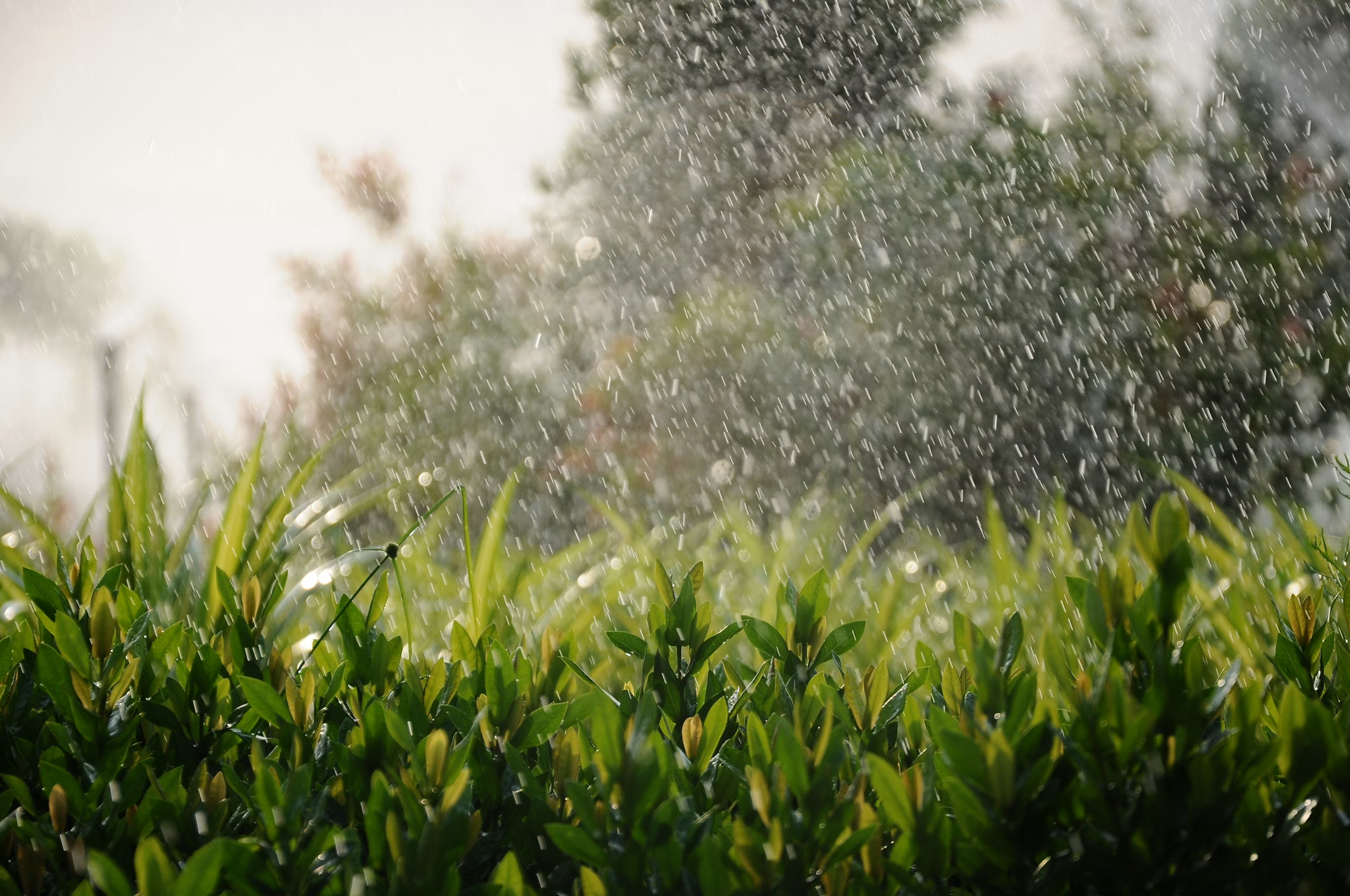
Let's see the impact
In pilots, farms reduced water waste by 16%, and the platform is designed to scale across irrigated crops without becoming a complicated mess.
Actionable alerts
When conditions change, you know what to do next without digging through charts.
Risk free rollout
A revenue share model can align incentives and keep adoption simple with zero upfront cost options.
From setup to savings in four steps
A repeatable workflow that works across irrigated crops and field sizes.
Field setup
Field setup
Map your fields and establish a baseline
We start by organizing your fields into zones, connecting available data sources, and building a baseline of current irrigation behavior so improvements are measurable from day one.

Data sync
Data sync
All your field data, unified in one place
Saturn ingests satellite imagery, IoT soil sensors, and weather data to create a single operating picture of field conditions, updated continuously.
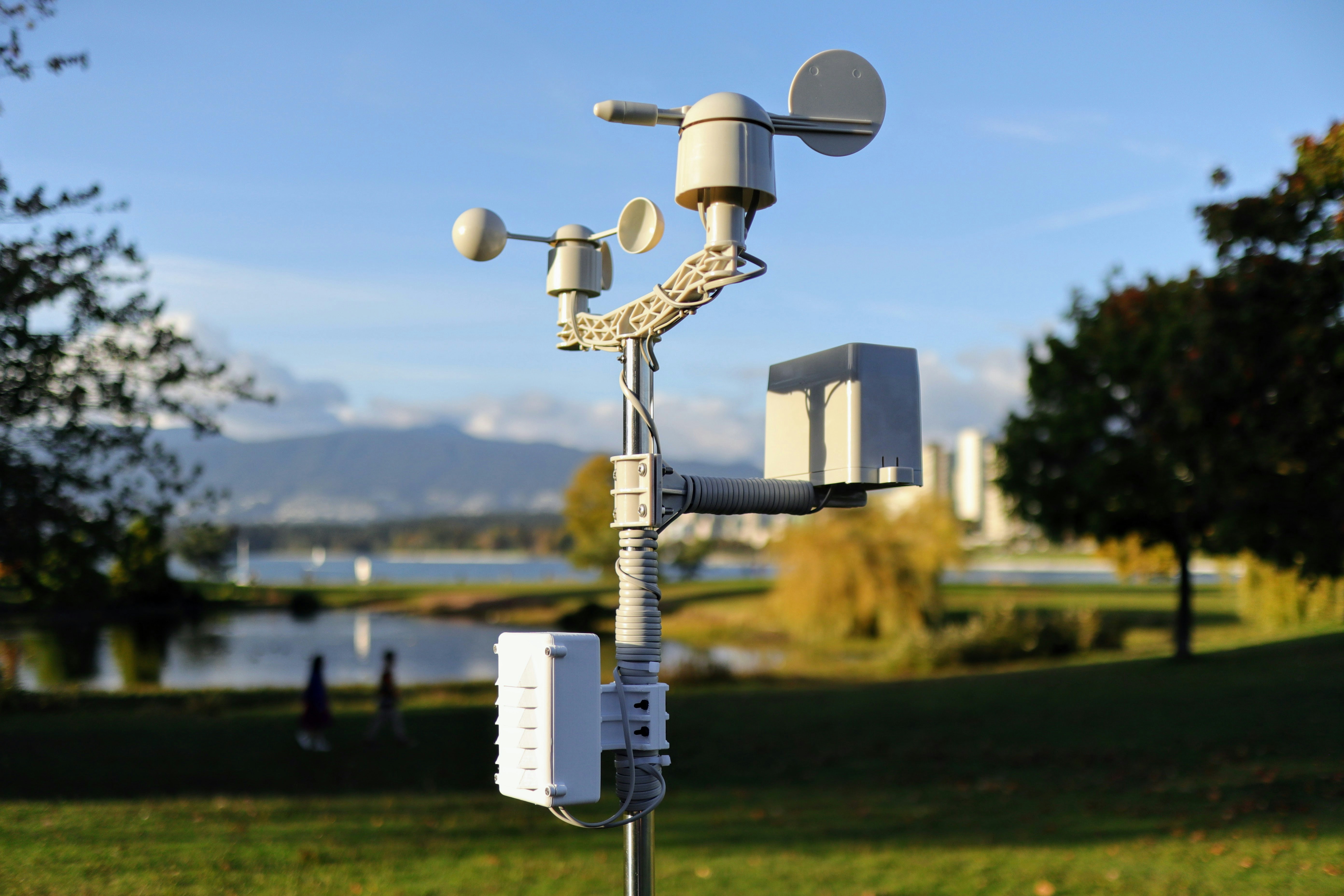
Daily plan
Daily plan
Get clear irrigation guidance your crew can follow
The platform translates complex signals into a practical run plan and alerts, so your team knows what to do today and what to watch for tomorrow.
Proof
Proof
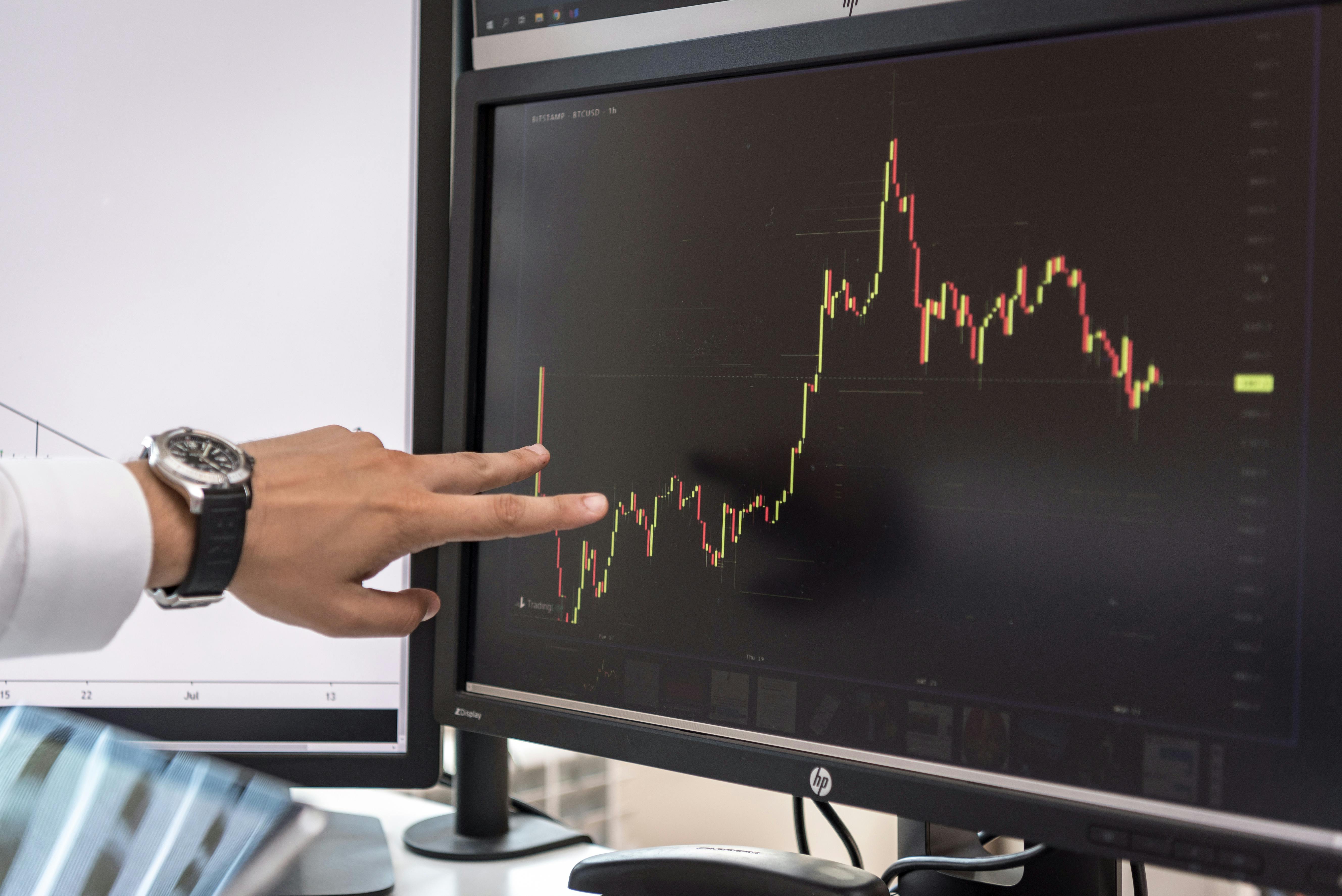
Track water savings and forecast what’s next
Measure results with reporting that highlights waste reduction and performance over time. Early pilots have shown a 16% reduction in water waste across test farms, and Saturn can extend into forecasting and intelligence as your operation
.jpg)